After the Asphalt Ends, the Fun Begins - 19756 W. 61st Street S.
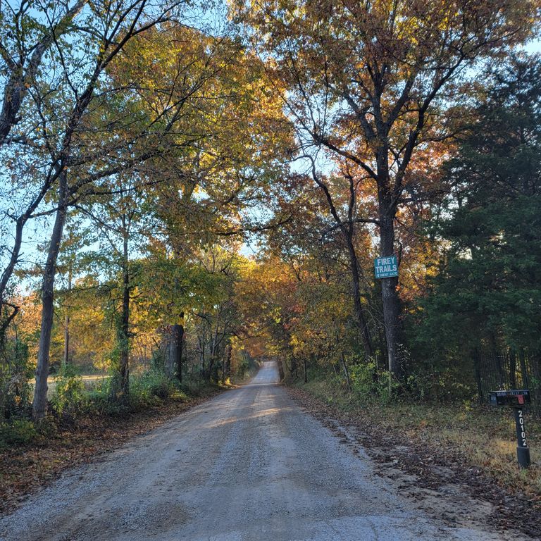
Our address information is set-up on Google Maps under Firey Trails. We recommend going the "high road" which is 41st (west of Sand Springs), a short winding stretch of Coyote Trail, south on 209, and east on 61st. This is paved 99% of the way and contains large reflective Firey Trails signs the last three miles of the way.
The other "Back Roads" adventurous way is mostly good but is not paved the whole way with a couple mile section of winding dirt road (usually directed when people use the Creek Turnpike going north from Sapulpa). This route is taking 71st west of Highway 97. At 177th, 71st ends but starts winding north along Rock Creek turning into a 2.3 mile section of gravel and dirt road. It is usually in pretty good shape but is narrow in parts and gets muddy when it rains. Right after the road straightens out into 61st Street (still dirt and gravel), you will see our Firey Trails sign pointing to the gate across the road.
Below is a Google Maps Link.